
GPS-based elevation data can be off because signals get blocked or distorted by buildings, weather, or terrain, leading to inaccuracies that can impact your navigation and safety. Barometric altimeters measure altitude based on atmospheric pressure, which tends to be more stable and reliable when properly calibrated. Combining both methods improves accuracy, but proper calibration is key. If you want to understand how to get more precise elevation info, keep exploring further.
Key Takeaways
- GPS signals can be blocked or distorted by urban structures and weather, causing inaccurate elevation readings.
- Barometric altimeters use atmospheric pressure changes, offering more stable elevation data when properly calibrated.
- Weather variations and sensor drift can affect pressure-based measurements, requiring regular calibration for accuracy.
- Combining GPS and barometric data improves reliability, compensating for individual system limitations.
- Proper calibration at known elevations ensures barometric altimeters provide precise altitude information despite environmental factors.
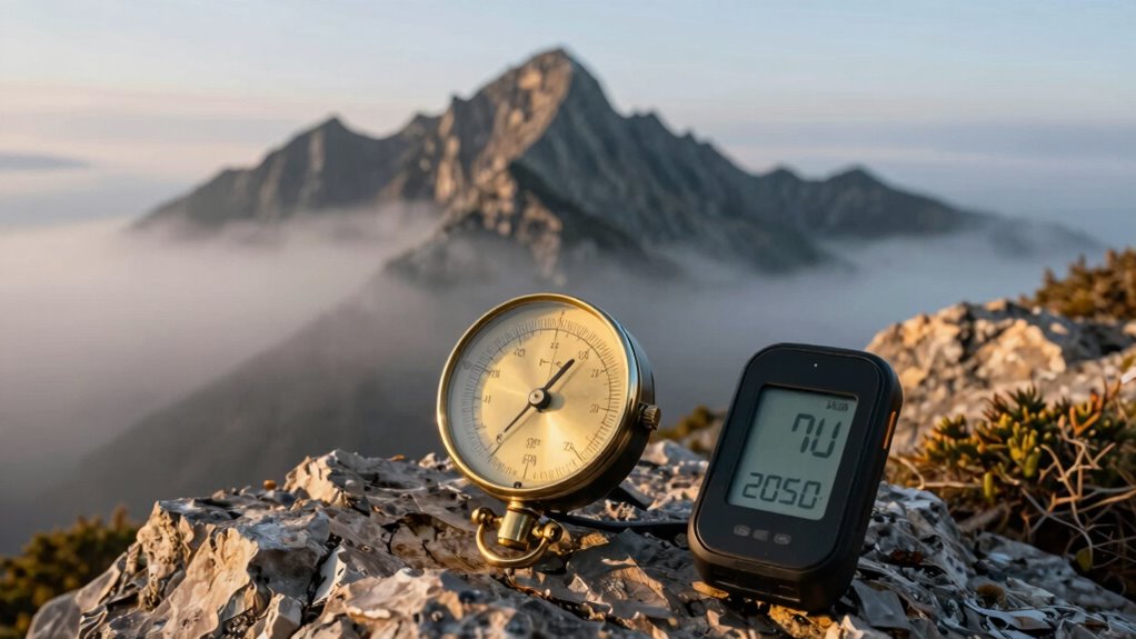
Elevation data can often be inaccurate, leading pilots and outdoor enthusiasts to rely on barometric altimeters for altitude readings. While GPS technology provides convenient, real-time elevation data, it’s not always reliable. GPS inaccuracies can stem from signal blockages, atmospheric interference, or multipath errors where signals bounce off buildings or terrain. As a result, GPS-derived elevation readings can fluctuate or be substantially off, especially in dense urban areas or remote regions. This inconsistency can be frustrating, particularly when precise altitude information is critical for safety or navigation.
That’s where barometric altimeters come into play. Unlike GPS, which depends on satellite signals, barometric altimeters use atmospheric pressure to determine elevation. They measure changes in air pressure, which decrease as you ascend and increase as you descend. This method can provide more stable readings, especially when properly calibrated. Calibration techniques are essential to make certain your altimeter remains accurate over time. Typically, you start by setting your altimeter at a known elevation—like at a sea level calibration point or a location with a reliable elevation reading. Once calibrated, the altimeter uses pressure changes to track your altitude with high precision. Regularly recalibrating your device, especially when you change locations or notice discrepancies, helps mitigate errors caused by weather variations or sensor drift.
Barometric altimeters use atmospheric pressure and require regular calibration for accurate elevation readings.
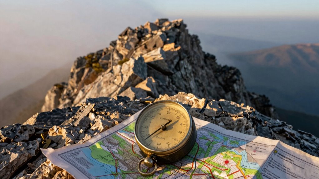
It’s important to recognize that pressure-based readings can be affected by weather conditions, such as storms or temperature changes, which temporarily alter atmospheric pressure. To combat this, outdoor enthusiasts and pilots often cross-check their barometric readings with known elevation markers or use additional calibration techniques. For example, some devices allow manual calibration, enabling you to input current pressure readings at known elevations. Others incorporate automatic calibration features that adjust based on local weather data or GPS information, blending the strengths of both systems.
In practice, relying solely on GPS for altitude can be risky, especially in environments prone to signal inaccuracies. By understanding the limitations of GPS and employing proper calibration techniques with barometric altimeters, you gain a more dependable way to determine your elevation. This combination offers a more consistent and accurate altitude reading, providing confidence whether you’re navigating through rugged terrain, flying, or engaging in outdoor activities. So, while GPS has its place, mastering calibration of your barometric altimeter ensures you’re always equipped with reliable elevation data, regardless of GPS reliability or weather conditions. Additionally, modern electric dirt bikes often incorporate advanced sensors that can enhance altitude measurement accuracy for off-road riding.

8 IN 1 Altimeter, Digital Compass, Hiking Thermometer, Barometer, Weather, Timer with Backlight for Mountaineering Outside -2300 to 29500FT 1100MBAR, 300mbar to 1100mbar, English Manual, Lanyard
- Multifunctional Outdoor Tool: Altimeter, compass, barometer, thermometer
- High-Altitude Range: Up to 29,500 feet or 9,000 meters
- Accurate Measurements: Reliable altitude and air pressure data
As an affiliate, we earn on qualifying purchases.
As an affiliate, we earn on qualifying purchases.
Frequently Asked Questions
How Often Should I Calibrate My Barometric Altimeter?
You should calibrate your barometric altimeter daily or whenever you change weather conditions considerably. Regular calibration guarantees accurate altitude readings, which is essential for safe navigation. Incorporate altimeter maintenance into your routine, especially before flights or outdoor activities. Keep an eye on calibration frequency, and adjust it if you notice discrepancies. Proper maintenance and frequent calibration help your altimeter provide reliable data, preventing errors that could compromise your safety.
Can Weather Changes Affect Elevation Readings?
Weather variability is like a chameleon changing its colors; it definitely impacts your elevation readings. As atmospheric pressure fluctuates due to weather changes, your barometric altimeter detects these shifts, causing inaccurate measurements. When the weather turns stormy or pressure drops, your altitude could seem higher or lower than it actually is. To maintain accuracy, you should regularly calibrate your altimeter, especially before and after significant weather changes.
What Are Common Sources of Errors in Elevation Data?
You often encounter errors in elevation data caused by geographic inaccuracies and limited data resolution. These issues can stem from outdated mapping, satellite signal interference, or terrain complexities that distort measurements. You should verify data from multiple sources and consider barometric altimeters for more precise elevation readings. Regular updates and understanding the limitations of your data sources help you get more accurate elevation information for navigation and planning.
Are GPS Devices More Accurate Than Barometric Altimeters?
GPS devices generally aren’t more accurate than barometric altimeters because GPS inaccuracies from satellite signal interference and atmospheric conditions can cause elevation errors. Barometric altimeters, however, rely on calibrated pressure readings, providing more consistent elevation data if you regularly calibrate them. So, if you want reliable elevation info, using a calibrated barometric altimeter often beats a GPS, especially in challenging environments or when precise altitude is essential.
How Do I Interpret Conflicting Elevation Readings?
When you see conflicting elevation readings, first check if your altimeter needs calibration, especially if weather has changed recently. Weather impact, like pressure shifts, can cause discrepancies. To interpret correctly, compare readings over time and consider recent weather conditions. Adjust your altimeter for local pressure changes, and use the most consistent reading as your guide. This helps make sure you get the most accurate elevation data possible.
Conclusion
So, next time your GPS shows a strange elevation, remember it’s often way off—like trying to find Everest in a molehill. Barometric altimeters, though not perfect, cut through the chaos and give you a far truer reading. Don’t rely solely on digital data that can be as unreliable as a weather forecast in a hurricane. Trust the barometric altimeter; it’s your secret weapon against elevation errors and your ticket to conquering the wild with confidence.