
The difference between barometric and GPS elevation for trail runs lies in their methods. Barometric elevation measures altitude based on changes in pressure, giving you quick, real-time updates, especially in stable weather. GPS elevation relies on satellite signals but can struggle in dense forests or canyons, providing less immediate data. By combining both methods, you get a more reliable navigation experience that enhances your trail runs. There’s much more to explore about how these technologies can benefit your adventures.
Key Takeaways
- Barometric elevation relies on pressure changes for real-time altitude readings, making it effective on defined trails under stable weather conditions.
- GPS elevation uses satellite signals, offering broader location context but can be less reliable in dense forests or mountainous areas.
- Combining both methods enhances accuracy, with barometric data providing immediate changes and GPS offering overall location verification.
- Modern devices often integrate both sensors, allowing users to switch methods based on their specific needs during trail runs.
- Proper calibration of sensors is crucial for reliable readings, ensuring safer and more enjoyable outdoor experiences.
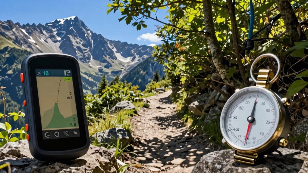
When you’re hiking or traversing through the outdoors, understanding the difference between barometric and GPS elevation can enhance your experience. Both methods have their pros and cons, and knowing when to use each can greatly improve your trail navigation skills. Barometric elevation relies on changes in barometric pressure to determine your altitude. As you ascend or descend, the atmospheric pressure shifts, allowing a barometer to calculate elevation changes. This method is generally more reliable in stable weather conditions, as it can provide accurate readings, especially on well-defined trails.
On the other hand, GPS elevation uses satellite signals to determine your position and calculate your altitude. While GPS accuracy has improved over the years, it can still be influenced by various environmental factors, like tree cover or mountainous terrain. If you’re deep in a canyon, for instance, GPS readings might be less reliable, leading to potential inaccuracies in your elevation data. So, for performance tracking, depending solely on GPS might not give you the precise information you need.
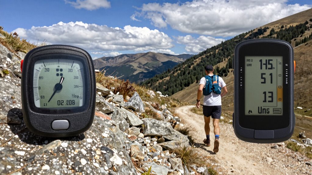
Combining both methods offers a more rounded approach. While barometric pressure can give you quick, real-time elevation updates, GPS can provide a broader context for your location on the map. When traversing trails, you can use barometric data for immediate altitude changes while relying on GPS for confirming your overall position. This dual approach helps improve your data reliability, making your trail runs safer and more enjoyable.
Moreover, the technology impact on your hiking experience can’t be understated. Many modern devices come equipped with both GPS and barometric sensors, allowing you to switch between the two based on your needs. If you’re facing sudden weather changes, the barometric sensor might alert you to a drop in pressure, indicating a possible storm. This can be a game changer in trail navigation, helping you make informed decisions about your route and safety. Understanding sensor technology can further enhance your knowledge of how these devices operate in different conditions. Additionally, being aware of sensor calibration ensures your device provides the most accurate readings possible. Recognizing the importance of calibration can help maintain the integrity of your elevation data over time. Knowing how to interpret sensor readings correctly can also prevent misjudgments during your outdoor activities.
Ultimately, understanding the nuances between barometric and GPS elevation will enhance your outdoor adventures. By leveraging both methods, you can adapt to varying conditions and guarantee that your performance tracking is as accurate as possible. This knowledge not only enriches your experience but can also keep you safer in the great outdoors.

Altimeter GPS Digital Waterproof Outdoor Altitude Pre-Warning Remind Compass Stopwatch Sports -Barometer Weather Forcast Pedometer SUNROAD
- Triple Satellite GPS Compatibility: Supports GPS, GLONASS, BeiDou for accurate positioning
- High-Precision Altimeter: Measures sea level and climbing height with 0.5m accuracy
- Historical Data Tracking: Records altitude trends over 7 days and 24 hours
As an affiliate, we earn on qualifying purchases.
As an affiliate, we earn on qualifying purchases.
Frequently Asked Questions
How Do Weather Conditions Affect Barometric Elevation Readings?
Weather conditions can greatly affect your barometric elevation readings. Pressure changes due to shifting weather patterns can lead to inaccurate altitude adjustments. If a storm approaches, for instance, the barometer may drop, falsely indicating you’re at a lower altitude. To counter this, use calibration techniques regularly, especially when conditions fluctuate. Always check the forecast before heading out, so you can interpret your readings more accurately and guarantee a safe trail run.
Can GPS Elevation Be Inaccurate in Dense Forests?
Yes, GPS elevation can be inaccurate in dense forests. The thick canopy interferes with satellite signals, leading to GPS inaccuracies. When you’re traversing through forest terrain, the trees can block or reflect signals, causing your device to miscalculate your altitude. As a result, you might find your elevation readings unreliable, especially in areas with limited visibility to the sky. It’s always good to cross-check with other methods when you’re out on the trails.
Which Method Is Better for Long-Distance Trail Running?
For long-distance trail running, barometric elevation tends to offer better accuracy than GPS, especially in varied terrain. It adjusts to changes in atmospheric pressure, providing real-time feedback on elevation. While GPS can struggle in dense forests or canyons, relying on barometric data enhances your trail navigation. Combining both methods can help you get the most accurate elevation readings, ensuring you stay on track throughout your run.
How Often Should I Calibrate My Barometric Altimeter?
You should calibrate your barometric altimeter regularly for ideal elevation accuracy. It’s best to do this before each run, especially if you’re starting at a different location or elevation. Environmental changes, like weather fluctuations, can affect your readings, so calibrating helps maintain precision. If you notice discrepancies during your run, recalibrate when possible. Consistent checks guarantee your altimeter remains reliable, giving you the confidence to tackle those trails effectively.
Are There Specific Devices Recommended for Accurate Elevation Data?
For pinpoint elevation data that’ll make you feel like a mountain god, consider high-end GPS watches like the Garmin Fenix series or Suunto models! These beauties boast impressive altimeter accuracy, tracking changes like a hawk. If you want a device comparison, the barometric altimeters in these watches can outshine basic GPS readings, especially in tricky terrains. You’ll conquer trails with confidence, knowing you’re armed with the best tech!
Conclusion
In trail running, understanding the difference between barometric and GPS elevation is like choosing the right gear for your journey. Barometric elevation offers precision, adapting to atmospheric changes, while GPS provides a broader view, perfect for traversing vast landscapes. Both have their strengths, but knowing when to rely on each can enhance your experience. Embrace the ups and downs of your run, and let these tools guide you, ensuring you stay on the right path, no matter the terrain.